



St Lucia (in KwaZulu-Natal, South Africa) has a layered history spanning Indigenous occupation, Portuguese naming in the 1500s, colonial annexation and hunting pressures, early conservation, wartime use, forced removals under apartheid-era policies, and its transformation into the core of South Africa’s first UNESCO World Heritage Site (iSimangaliso Wetland Park).
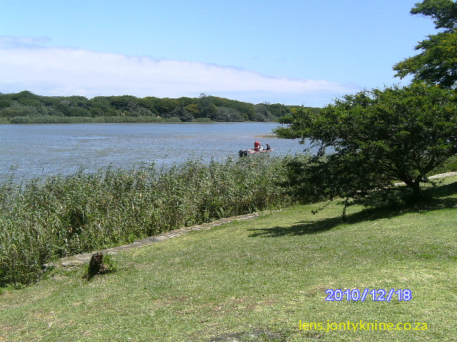
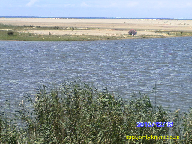
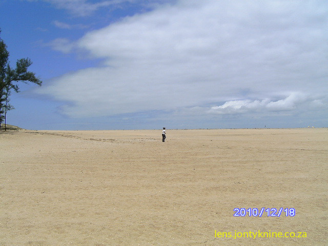
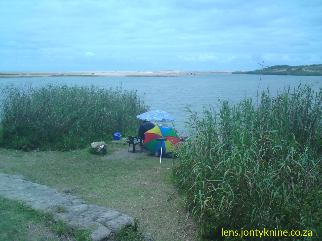
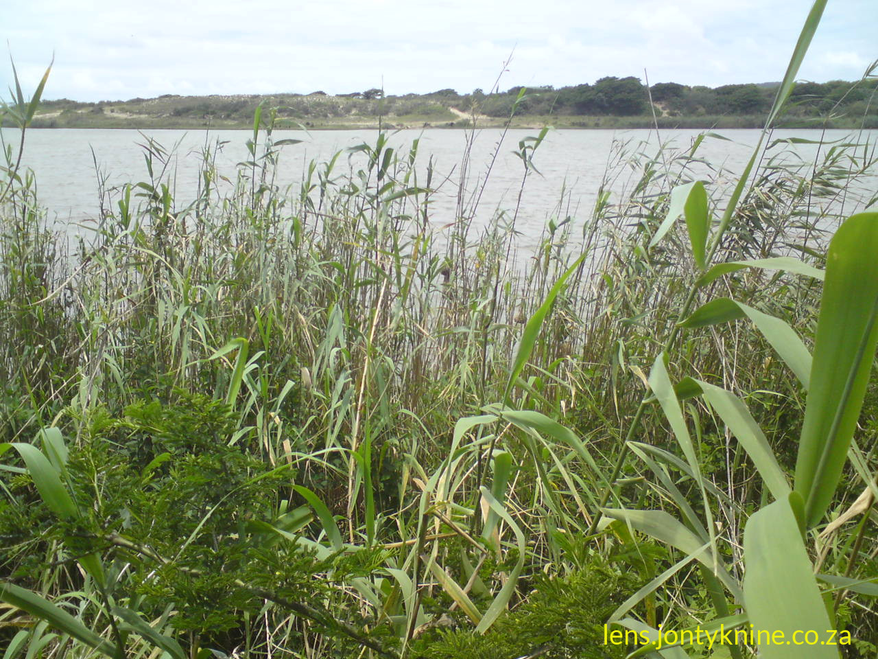
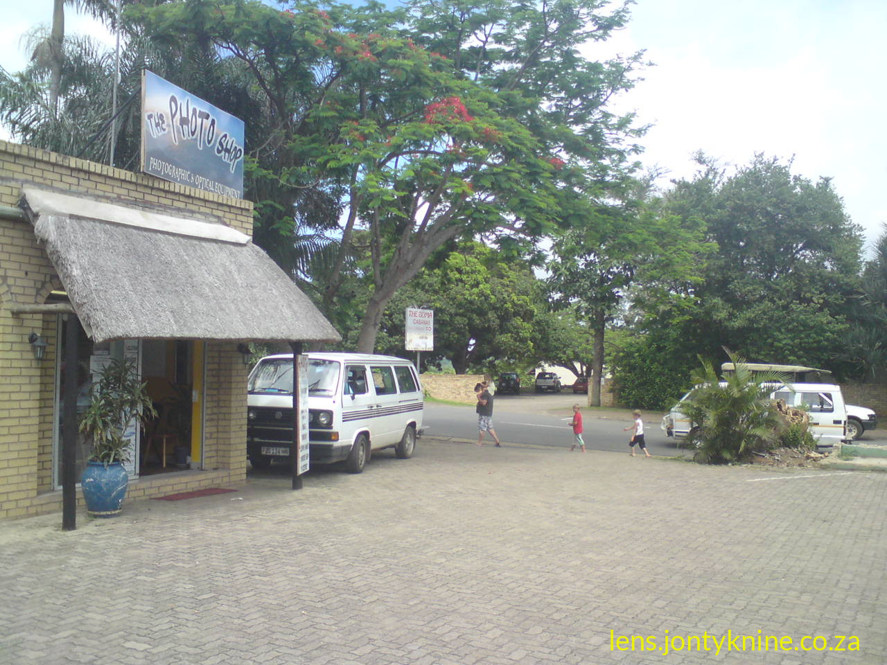
The town of St Lucia sits on the estuary of Africa’s largest estuarine system, Lake St Lucia, and serves as the main gateway to the surrounding wetlands, dunes, forests, and coastline that form the heart of the park.
Pre-colonial and Indigenous Occupation
Archaeological evidence shows long human presence in the broader region. Later Stone Age material (including decorative pierced seashells) appears at sites such as Border Cave in the Lebombo Mountains, and Iron Age sites near Enkwazini (east of the lake) date back to around 290 AD.
Tsonga (particularly Tembe) people inhabited the area for over a thousand years, with continuous occupation documented from at least the 13th century. Ethnographic work by Swiss missionary Henri-Alexandre Junod in the 1890s described Tembe occupation of St Lucia Bay and noted their traditional fishing practices. The Tembe capital was associated with the bay area. Zulu-speaking groups also settled and used the Eastern Shores; oral histories of the Bhangazi (Mbuyazi) clan link settlement there to the early 19th century under leaders such as Sokana, with later connections to the broader Mpukunyoni/Somkhele chiefly structures.
The landscape supported fishing, foraging, hunting, and seasonal use shaped by the estuary’s tides, rainfall, and shifting mouth. Arab traders may have visited the wider Maputaland coast as early as the 13th century (suggested by trade beads), and Portuguese contact began later.
European Contact and Naming (16th–19th Centuries)
Portuguese survivors of the ship São Bento (wrecked in 1554) referred to the area as Rio dos Medos do Ouro (or similar variants: River of the Gold Dunes / River of the Dunes of Gold), describing the distinctive coastal dunes.
On 13 December 1575 (the feast day of Saint Lucy), Portuguese navigator Manuel de Mesquita Perestrelo (or Peresterello) renamed the mouth area Santa Lucia while charting the coastline. This is the origin of the modern name. Note that the Tugela River mouth had earlier been associated with “St Lucia” before the name settled on this estuary.
European interest remained limited for centuries. In 1822 British naval survey vessels (Leven, Barracouta, and Cockburn) charted the coast; features such as Cape Vidal and Leven Point take their names from this work. The British proclaimed St Lucia a township in 1822.
Hunting, Colonial Rivalry, and Early Settlement
In the 19th century the area was part of the Zulu kingdom’s sphere and later the focus of colonial competition. Wildlife was abundant (elephant, buffalo, black rhino, hippo). Intensive ivory hunting followed. In the 1850s Robert Briggs Struthers and other hunters killed more than 1,000 hippos across rivers and lakes in the Zulu kingdom; ivory was used for false teeth, instruments, billiard balls, and piano keys. Game numbers collapsed.
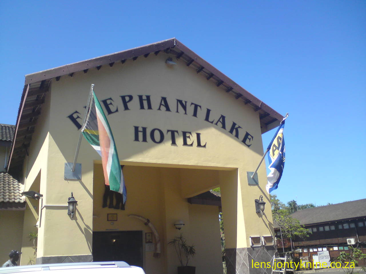
After the Anglo-Zulu War (1879) the British divided the former kingdom. In December 1884 the British annexed the St Lucia area (HMS Goshawk was involved) partly to block Boer ambitions for a harbour and to forestall other European powers. German colonialist Adolf Lüderitz briefly sought a protectorate over Santa Lucia Bay in 1884–85, but Germany renounced the claim in May 1885 due to prior British rights. The St Lucia township was formally proclaimed around 1885 and developed as a fishing and holiday resort (first hotel in the 1920s). A bridge linking the town to the mainland was only built in the mid-1950s; before that a pont (ferry) was used.
Conservation Beginnings and 20th-Century Changes
Depleted game stocks led to formal protection: parts of the St Lucia system were proclaimed a Game Reserve in 1895—one of Africa’s earliest protected areas and often described as the world’s oldest formally protected estuary. Protection expanded over subsequent decades (St Lucia Park in 1939 and later consolidations).
During World War II (1942–1944) the southern part of the lake served as a base for RAF No. 262 Squadron Catalina flying boats conducting anti-submarine patrols against U-boats in the Indian Ocean. Remains of at least one Catalina were later found during droughts. Operations moved to Richards Bay as water levels dropped.
From 1911 onward sugar cane farming expanded on the Mfolozi floodplain. Sediment and hydrological changes followed. In 1952 the Mfolozi River was artificially separated from the St Lucia system (a new mouth was cut near Maphelane) to protect farmland after mouth closure and flooding problems. This removed a major freshwater source (historically up to ~60% of input) and had long-term ecological consequences, contributing to extreme salinity swings and later crises.
Commercial pine and eucalyptus plantations were established on the Eastern and Western Shores from the 1950s as state forests. Between the 1950s and early 1980s roughly 1,200 Zulu-speaking households were removed from areas that became part of the Greater St Lucia Wetland Park—some for conservation, others for forestry, and some in connection with a South African Defence Force missile range established on the Ndlozi Peninsula in 1968. The Bhangazi (Mbuyazi) people of the Eastern Shores were among those affected; final removals from parts of the Eastern Shores occurred in the early 1970s.
World Heritage Status, Restitution, and Renaming
Lake St Lucia and associated wetlands, turtle beaches, and reefs received Ramsar Wetland of International Importance status (1971 listings for parts of the system; formal designation of the St Lucia System in 1986).
In the late 1980s–early 1990s a major campaign successfully opposed titanium mining of the Eastern Shores dunes by Richards Bay Minerals. The post-apartheid government later prioritised conservation linked to ecotourism. In December 1999 the Greater St Lucia Wetland Park was inscribed as South Africa’s first UNESCO World Heritage Site (on natural criteria recognising scenic beauty, ongoing ecological processes, and biodiversity). Nelson Mandela attended the unveiling.
A landmark land claim settlement for the Eastern Shores (Bhangazi/Mbuyazi claimants) was reached in 1999. It provided financial compensation (approximately R30,000 per verified household, total package around R16.7 million), a small heritage site, and ongoing benefits (including a share of gate levies) while keeping the land under conservation management. This cleared a key obstacle for World Heritage status and reflected a shift toward recognising community claims within the park’s governance.
In 2007 the park was renamed iSimangaliso Wetland Park (“miracle” or “something wondrous” in isiZulu). Large-scale removal of alien plantations on the Eastern and Western Shores followed, allowing wetland systems to recover. The park authority was established to manage conservation, presentation, and development for public benefit, with community co-management elements built into its approach given that much of the land was under claim at proclamation.
Ecological and Contemporary Context
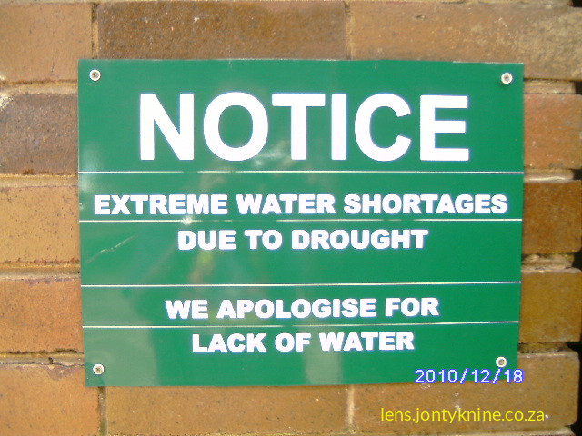
Lake St Lucia is a highly variable estuarine system (shallow, with extreme salinity swings from near-fresh to hypersaline >200 ppt in droughts). The artificial separation of the Mfolozi, droughts (notably 2002–2012), and other pressures caused severe ecological stress, including prolonged mouth closure, massive salt accumulation, and local extinctions (e.g., of eelgrass Zostera capensis). Restoration efforts since around 2010 have focused on reconnecting hydrological functions.
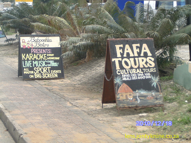
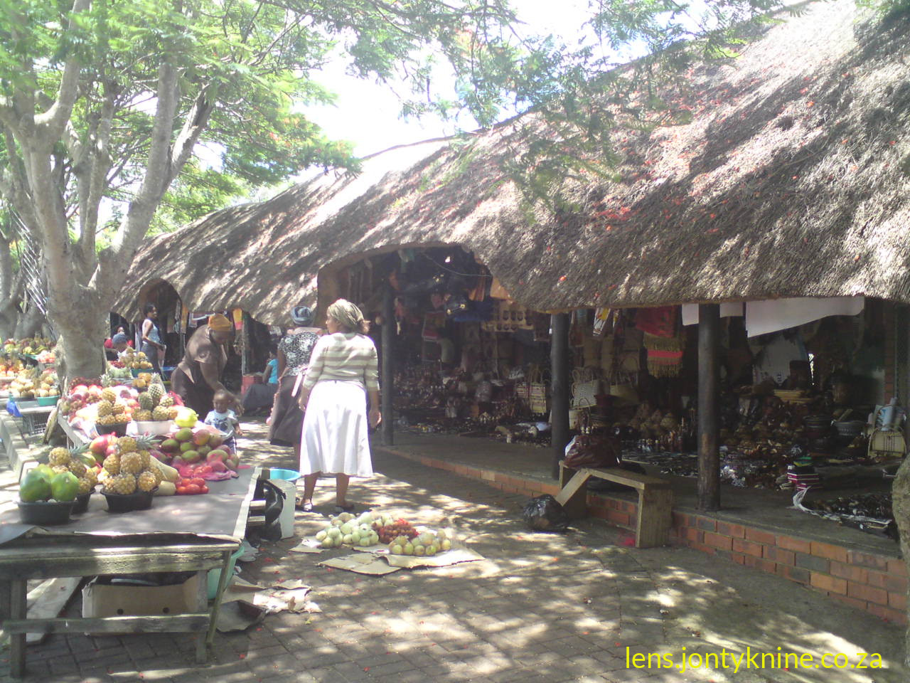
Today the town remains a small tourism hub (population roughly 1,100 in recent census data) for boat trips, hippo and crocodile viewing, birding, beach access, and entry into the Eastern Shores toward Cape Vidal. Hippos still enter the town at night. The broader park protects an extraordinary mosaic of habitats and is managed with attention to both biodiversity and the human history of the land, including restitution outcomes and cultural connections.
Key timeline highlights
- Pre-13th century onward: Indigenous (Tsonga Tembe and later Zulu-linked) occupation and use.
- 1554 / 1575: Portuguese naming (Rio dos Medos do Ouro → Santa Lucia).
- 1822 / 1884–85: British township proclamation and annexation (thwarting German and Boer claims).
- 1850s–1890s: Intensive hunting → 1895 Game Reserve proclamation.
- WWII: Catalina flying-boat base.
- 1950s–1970s: Forestry, river separation, forced removals.
- 1999: UNESCO World Heritage Site + major land claim settlement.
- 2007: Renamed iSimangaliso.
This history illustrates the shift from resource extraction and colonial control through conservation-driven displacement to a more integrated model of protection, tourism, and community benefit. Primary sources for further reading include the iSimangaliso Authority materials, Wikipedia entries on St Lucia and Lake St Lucia (cross-checked against academic and official accounts), and studies on the Eastern Shores land claims.


